The Direct Answer
In Atherton the answer is parcel by parcel, not town-wide. Every residential lot carries an ADU/JADU path of its own, lots meeting the state's eligibility screens also carry an SB 9 path, and beyond those, eight named parcels now carry an RM-10 multifamily overlay with a density cap of 10 units per acre. But the overlay is the owner's option, not a rezoning imposed on the land; and if a parcel is ever developed under RM-10, the town code applies a separate, stricter set of standards on whichever side faces an existing single-family home.
Who this article is for
- Buyers looking at a specific Atherton listing. You want to know, before you write the offer, what this parcel — and the ones beside and across from it — is currently allowed to become.
- Owners who already hold in Atherton. You want to understand which development paths your own land has gained, and which ones your neighbors' land has gained.
- Owners planning an ADU or studying a lot split. The town's ADU ordinance was amended twice, in 2024 and 2025; size, height, setbacks, tree-ordinance exemptions and review timelines all moved.
- Cross-border buyers meeting California housing law for the first time. You have heard the terms — ADU, SB 9, Housing Element, overlay — but not what they actually mean when applied to one piece of land.
Three dimensions that decide the outcome
Place yourself first: dimension one applies to every residential parcel in Atherton, while dimensions two and three only matter if the parcel you are looking at — or one adjoining it — is among the eight overlay parcels.
Dimension one: The state-law paths every residential lot carries (SB 9 has eligibility screens)
Start with the part that has nothing to do with the overlay. Atherton's ADU rules sit in Chapter 17.52 of the municipal code (Ord. 665, 2024; Ord. 675, 2025). Worth noting: the chapter opens by stating that the town adopts these provisions "under protest," on the Council's position that the state legislature has improperly usurped local land use authority. That sentence is in the code text itself, not a paraphrase.
The protest is on the record; the rules operate anyway, and they are permissive. A lot with a single-family home may have one ADU plus one JADU (a JADU is capped at 500 square feet and must sit entirely inside the main residence). A newly constructed ADU is capped at 1,200 square feet, and a detached ADU of 800 square feet or less needs only 4-foot side and rear setbacks with no front-yard setback at all. On height, a detached ADU is generally limited to 16 feet, rising to 18 feet within a half-mile walk of a major transit stop or high-quality transit corridor, and an ADU built above a detached garage may reach 25 feet — provided the total height includes the garage, access is through a ground-level entry vestibule and interior stair, the roofline matches the main residence, and any residual roof area is not turned into a deck or balcony. ADUs and JADUs permitted on or after January 1, 2020 carry no owner-occupancy requirement. Review is ministerial — no discretion, no hearing — and the town must approve or deny within 60 days of a complete application, after which the application is deemed approved. How ADU floor area interacts with the main residence's allowance has to be confirmed case by case against the current code text, with the planning department's written answer governing.
Two details buyers routinely miss. First, a lot of at least two acres that permits single-family use may add one more detached "bonus" ADU, in exchange for a recorded deed restriction: available to a low-income household for 15 years, or a very-low-income household for 10 years, on HUD income limits for San Mateo County AMI, and it must be rented for nine months or longer. Second, under Government Code section 66323, the ADU types described in code sections 17.52.040(B)(1), (B)(2)(a) and (B)(4) are exempt from the town's Heritage Tree Ordinance — meaning protected trees do not carry the same weight in those ADU cases as they do on a main-residence project. On a parcel whose selling point is a stand of century-old oaks, that distinction is very concrete. All other ADU types, the main residence itself and every other accessory structure remain subject to the ordinance.
The second path is an SB 9 lot split, implemented locally through Chapter 17.53. The record is public on the town's own project table: as of August 2026 it lists 20 projects, of which 7 are marked RECORDED. Most of the rest sit at various tentative-map or final-map stages, and one is on hold awaiting an applicant response. Four and a half years after the law took effect, in other words, the number of splits that have actually reached recordation is still in single digits.
Dimension two: The RM-10 overlay on eight named parcels is optional, not mandatory
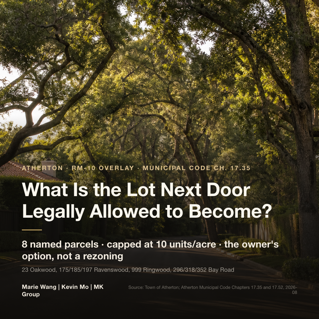
In October 2024, alongside its 2023-2031 Housing Element, Atherton adopted Ord. 669, creating Chapter 17.35 of the municipal code — "Multifamily Overlay District (RM-10)." The overlay sits on eight privately owned parcels currently developed as single-family homes: 23 Oakwood Blvd, 175 Ravenswood Ave, 185 Ravenswood Ave, 197 Ravenswood Ave, 999 Ringwood Ave, 296 Bay Road, 318 Bay Road, and 352 Bay Road. (Ravenswood Ave is an Atherton street name and is unrelated to the Ravenswood school district to the east.)
Three characteristics matter. First, it overlays rather than replaces. The town's own description is explicit: as an overlay district, property owners may keep their single-family zoning, or they may opt to develop as multifamily. The choice sits with the owner; the town did not rezone these parcels to multifamily. Second, compliance replaces hearings. Section 17.35.030 provides that multifamily development on an RM-10 parcel is considered by-right when the proposal complies with the chapter's objective standards — though separate actions such as lot redesignations, variances or special structure permits still require discretionary review. Third, using the standards has a threshold. A development must have a minimum lot area of one-half acre and include at least five residential units, excluding ADUs. The overlay is not a tool for putting one or two more houses on these parcels.
One more line buyers should know. Section 17.35.010 also states that the objective criteria apply to parcels identified in the chapter and in the Housing Element, "or on additional parcels as designated by the City Council." Eight is the current fact, not a ceiling written into the code.
Dimension three: The adjacency standards Chapter 17.35 applies where RM-10 meets R-1
This section answers a specific question: where an RM-10 development adjoins an R-1 parcel, which dimensional and design standards apply between the two lots? Chapter 17.35 contains a whole set of provisions that trigger only where the development abuts single-family land.
Setbacks run off a lot-width table, with a stricter tier where the parcel abuts R-1. On a lot 170 feet wide or more: side yard 20 feet standard, 40 feet abutting R-1; rear yard 20 feet standard, 50 feet abutting R-1. On a lot 140 feet wide or less: side yard 15 feet standard, 25 feet abutting R-1; rear yard 20 feet standard, 35 feet abutting R-1. The eight overlay parcels run from 0.9 to 1.6 acres, so which tier applies turns on each lot's frontage width — worth measuring parcel by parcel. (The stricter tier does not apply if the adjoining parcel itself carries an RM-10 overlay and is already developed with, or has an active application for, multifamily housing.) On top of that, any portion of a building higher than 21 feet at the side or rear setback line must step back an additional foot for every foot of added height.
Sightlines and privacy are written as hard standards. Balconies and decks are not permitted on walls facing an adjacent property developed with a single-family dwelling, nor on any perimeter wall within 25 feet of the setback line from an R-1 parcel, and roof decks are prohibited outright. On the second floor and above facing an R-1 district, windowsills for non-sleeping rooms must sit at least 54 inches above the finished floor, and any glass below 54 inches in such a window must be translucent rather than transparent — reflective glass is prohibited. Pedestrian pathways may not run within 10 feet of a property line adjoining an R-1 parcel or an existing single-family dwelling inside the overlay. Exterior lighting is capped at 8 feet in height, must be directed downward and fully shielded, may not shine onto an adjacent lot, and up-lighting of trees is prohibited.
Screening comes with a clock. Solid masonry walls or wood fencing 8 feet high are required along all side and rear property lines, and a landscape screening area is required along every property line, with plantings that must reach at least 12 feet within three years of planting and trees and shrubs that must be evergreen — unless existing landscaping is already 12 feet tall and opaque, in which case none is required. All of it must be installed before final inspection or a certificate of occupancy; no in-lieu fee or deposit is accepted.
Bulk is capped too. Everything below applies to RM-10 multifamily development, not to single-family lots — a single-family R-1A / R-1B lot runs on an 18% above-grade FAR and a 30-foot height limit (22 feet for vertical walls and columns); see how much you can actually build on an acre in Atherton. Main buildings top out at 34 feet, with end walls, sidewalls and columns limited to 28 feet where they face the front setback and 21 feet where built at the side and rear setback lines. Floor area ratio is capped at 0.45, rising to 0.55 if all resident parking goes below grade. Building coverage is capped at 40% of the lot, impervious surface at 20%, and the two together at 50%. The aggregate length of all façade segments facing one direction may not exceed 120 feet per building; a façade on or within 10 feet of the front setback is capped at 55 feet, and the side equivalent at 65 feet. EIFS, aluminum lap siding, T1-11 and vinyl siding are all prohibited on a main building façade.
The eight overlay parcels
The core figures first: these eight parcels run from 0.9 to 1.6 acres, so at RM-10's cap of 10 units per acre the arithmetic ceiling per parcel lands roughly between 9 and 16 units — and to use the standards at all, a project must clear both thresholds: a half-acre minimum lot area and at least five residential units. The third column below is arithmetic from the density cap, not a town projection for any parcel. The town's published estimate for the overlay program as a whole is about 96 units, and that figure also covers several institutional sites not listed here.
| Parcel | Acres | At 10/acre |
|---|---|---|
| 23 Oakwood Blvd | 1.6 | about 16 units |
| 175 Ravenswood Ave | 1.1 | about 11 units |
| 185 Ravenswood Ave | 1.1 | about 11 units |
| 197 Ravenswood Ave | 1.0 | about 10 units |
| 999 Ringwood Ave | 0.9 | about 9 units |
| 296 Bay Road | 0.93 | about 9 units |
| 318 Bay Road | 0.94 | about 9 units |
| 352 Bay Road | 0.92 | about 9 units |
The one thing to remember: this table is not for totalling units. It is for checking an address. Three of the eight sit in a row on Bay Road and three more in a row on Ravenswood Ave — so if the house you are looking at is on or near either stretch, or is one of the eight, then this parcel's zoning status and that of the parcels beside it are public facts worth settling before you write an offer, in the same tier of diligence as verifying the school attendance area or the buildable area. The reverse holds as well: if the house you are looking at is nowhere near these eight, dimension two simply does not apply to you, and what matters is the two town-wide paths in dimension one.
What MK Group sees on the ground
The way Atherton most often costs a buyer money is treating town-level information as parcel-level information. MK Group — founders Marie Wang (DRE# 02110980) and Kevin Mo (DRE# 02127623) — worked with a family drawn to a listing in Atherton Oaks: central to the town, framed by century-old oaks, lots running from a quarter acre to a full acre, an unmistakably Atherton address. The catch is that Atherton spans three elementary school districts, assignment is decided street by street, and one street over within the same neighborhood can shift a home from one district to another. Before writing an offer, the team checked the attendance area street by street and found that the house the client favored was not in the elementary district the client had assumed. After the team compared equivalent listings a few streets away on the other side of the line, the client changed direction in time. The price gap between equivalent homes on either side of that boundary was around $1.5M at the time.
What transfers from that case is not the school district — it is the motion itself. Almost every fact that matters in Atherton is street-level and parcel-level; nothing at the town level can be used directly. The 94027 ZIP code does not tell you the school district, and "one-acre minimum" does not tell you what can be built next door — the eight overlay parcels are the newest illustration of that sentence. A buyer can move the same step onto land use: for schools it means verifying an attendance area; for land use it means taking a specific street address and checking the zoning and overlay status of that parcel and the ones adjoining it. Both are public record, and both can be settled before an offer.
For clarity: the case recapped above concerns school-boundary diligence and has no connection to the overlay or ADU rules discussed here. It does not imply that this client was involved in any multifamily or zoning matter. Conditions on any given parcel follow the town's current records.
Common misconceptions
"Atherton has a one-acre minimum — surely nobody can build multifamily next door?"
As a town-wide impression it broadly holds, but there are now eight named exceptions. Ord. 669, adopted in October 2024, layered an RM-10 overlay onto eight parcels currently developed as single-family homes, permitting up to 10 units per acre. More to the point, section 17.35.010 leaves the door open: the objective criteria apply to parcels identified in the chapter and the Housing Element, or to additional parcels as designated by the City Council. So the right move is not to memorize eight addresses — it is to take each specific listing and check its current zoning and overlay status by street address.
"If a parcel carries the overlay, does that mean it will be built as multifamily?"
No. The overlay is an option layered on top of the existing zoning — the town's own description is that owners may keep single-family zoning or may opt to develop as multifamily. And the threshold is not trivial: to use Chapter 17.35's standards, a project needs at least a half acre and at least five residential units. As of August 2026, this round of research found no RM-10 development application reported publicly. So "this parcel carries the overlay" accurately means "this parcel's owner now has an option they did not have before" — not "this parcel is about to become multifamily housing."
"By-right approval — doesn't that leave the neighbor with no protection at all?"
It is closer to the opposite. By-right means discretion has been traded for fixed objective standards, and the standards in Chapter 17.35 that apply on the side facing single-family land are stricter than the norm: on a lot 170 feet wide or more, side setbacks jump from 20 feet to 40 and rear from 20 to 50 (a narrower lot falls in a lower tier); balconies are barred on walls facing a single-family home and roof decks are prohibited outright; windows above the first floor facing R-1 must be translucent below 54 inches; property lines require an 8-foot solid wall or fence plus evergreen screening that must reach 12 feet within three years. Fewer hearings, more non-negotiable dimensions. That distinction is worth keeping straight when you assess the impact.
"An ADU is just a small backyard cottage — how much can it matter?"
The scale is larger than most people assume. A newly constructed detached ADU is capped at 1,200 square feet; an ADU above a detached garage can reach 25 feet in total height including the garage below; and a detached ADU of 800 square feet or less needs only 4-foot side and rear setbacks with no front-yard setback. Review is ministerial, and an application not approved or denied within 60 days is deemed approved. A lot of two acres or more can add a further bonus ADU, in exchange for a 15-year low-income or 10-year very-low-income deed restriction plus a rental term of no less than nine months. And under Government Code section 66323, three categories of ADU in the code are exempt from the town's Heritage Tree Ordinance — all other ADU types and main-residence projects remain bound by it, so on a parcel sold on its mature oaks that one is worth confirming separately.
"This is all state pressure — won't the town just roll it back?"
There is no sign of that in the near term, and non-compliance carries its own cost. Atherton's Housing Element went uncertified well past the statutory January 2023 deadline, and through that period the town was exposed to the builder's remedy, under which a project including enough affordable units can bypass local zoning. No such application was filed during that period, and the window closed to new ones when the state housing department (HCD) certified the plan on May 5, 2025 — so long as the town stays compliant. The cycle target is 348 units, and 111 had been permitted as of March 2025. The ordinance is live law and production is measured on a cycle. "Waiting for it to go away" is not an assumption that belongs in a purchase decision.
Next steps
- Check the parcel and its neighbors by street address. The list of eight overlay parcels and their acreages sits on the Town of Atherton's Multi-Family Housing page, per-case SB 9 progress on the same site's Urban Lot Split project table, and the provisions themselves in Municipal Code Chapters 17.35 and 17.52. Confirm whether this parcel is one of the eight, what sits on either side and across the street, and whether its size clears the half-acre threshold.
- Run the buildable size separately. The overlay only decides whether multifamily development is possible; how large a single-family home the lot can hold is a different calculation — see how much you can actually build on an acre in Atherton.
- Keep ADUs and lot splits apart. One more accessory dwelling is an ADU; a second, separately sellable parcel requires an SB 9 lot split, with an entirely different approval path and set of constraints — see whether you can split off half of a two-acre Atherton lot.
- Verify the school boundary while you are at it. Atherton spans three elementary districts and assignment is decided street by street — the same kind of street-level fact as zoning. See how the Atherton and Menlo Park school districts divide, how to verify a home's actual school attendance area, and how Atherton's seven sub-communities differ.
- If you plan to rebuild, map the approval path first. Atherton has no standing architectural design review board, but its technical review gates are their own matter — see the same set of plans across seven Bay Area towns, and which approval path each one takes.