Quick Answer
It isn't rare, but it has to be run to ground. In Palo Alto's older subdivisions, one street address and one APN can cover several historical parcels. Before closing, read the legal description and the exceptions in the title report, establish the rights and restrictions on each piece, and only then settle your plans to rebuild or add on.
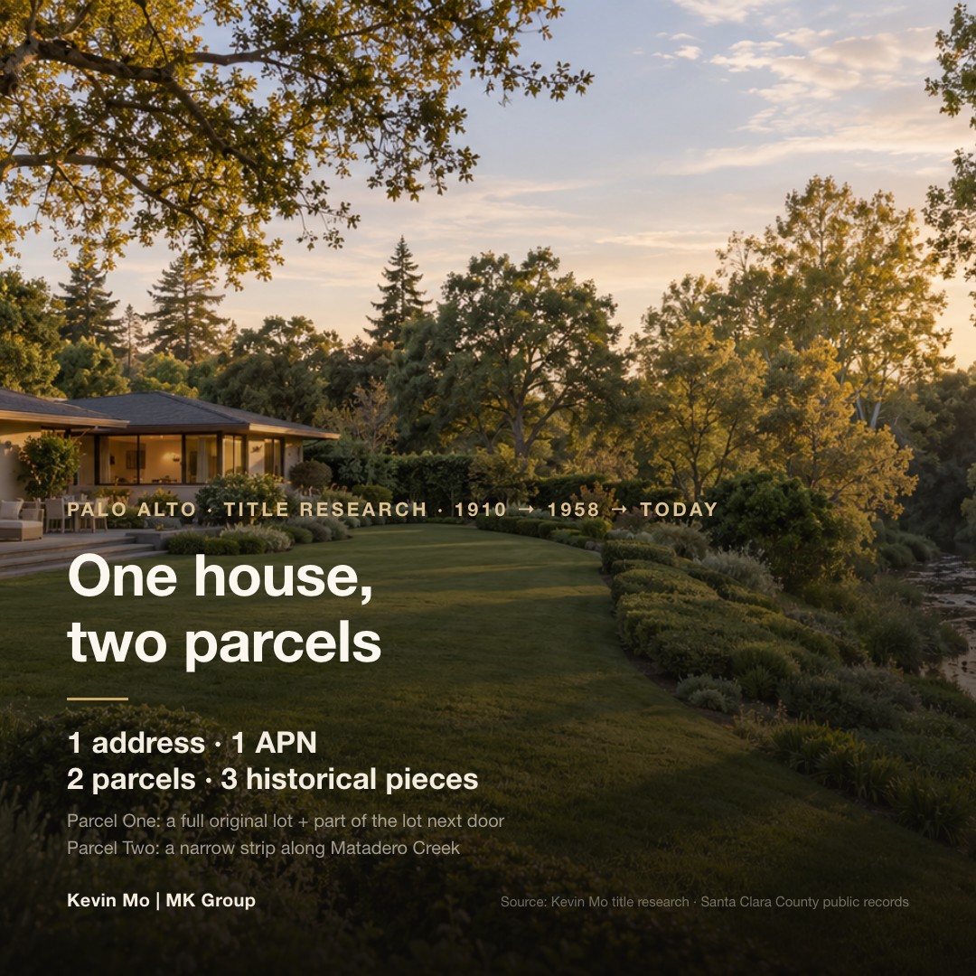
That is the subject of an October 2026 video by Kevin Mo (DRE# 02127623), co-founder of MK Group, on his YouTube channel (@KevinMoRE, 24K+ subscribers). It walks through a real title investigation: a Palo Alto house that is one address and one continuous yard on site, and two parcels assembled from three pieces of land with different histories on paper.
Who this article is for
- Buyers looking at single-family homes around $5M in Palo Alto and older Peninsula neighborhoods who plan to tear down and rebuild, add on or build an ADU after closing
- Buyers whose target lot backs onto a creek, has an irregular shape, or carries the words "portion of lot" in its legal description
- Buyers already in escrow who have just received a preliminary title report and can't make sense of the legal description or the exceptions
- Cross-border and all-cash buyers who spend little time in the Bay Area and need to settle every title question in one pass during the contract period
Three core dimensions
Dimension one: you see one house, but legally it may be several pieces of land
A street address is a postal address. An APN is the parcel number the county uses to assess property tax. Neither one equals a single piece of land in the title sense.
What defines what you are buying is the legal description in the title documents. It states how many parcels there are, and whether each is a whole lot or a "portion" of one. The Santa Clara County Assessor says its maps are prepared for assessment purposes and should not be relied on in boundary disputes.
The house Kevin investigated is a case in point: the main lot and the creekside strip share one APN, yet on title they are two parcels. The city name in an address may not match the jurisdiction the house actually sits in, either; see The Listing Says Menlo Park or Portola Valley, But the House Isn't Inside City Limits — Who Governs It, and Which School District Does It Feed?
Dimension two: the exceptions show who else still holds rights to the land
Under California law, a preliminary title report is not a representation of the condition of title. It is the title insurer's offer to issue a policy subject to the exceptions it lists (California Insurance Code §12340.11).
The part to read closely is the list of exceptions: easements, rights of way, CC&Rs and interests held by public agencies. Behind each one is a recorded document stating who holds the right and which stretch of land it burdens.
A creekside strip deserves the hardest questions. Kevin's team found that flood-control authorities did acquire land along Matadero Creek in 1957 (the record they found covers a different parcel). Valley Water, Santa Clara County's flood-protection agency for its creeks, also states that any work on or near its land, easements or facilities requires an encroachment permit.
Dimension three: these boundaries decide what you can build and what insurance will pay
Where the boundary runs, and which stretch carries someone else's rights, decides where a house can sit, whether a fence or pool can reach the creek, and whether there is room for an ADU.
Insurance has boundaries, too. The California Department of Insurance explains that a standard title policy mainly covers defects a search of the public record would reveal. Unrecorded easements, encroachments and boundary conflicts are what an extended-coverage policy is designed to insure, and an insurer issuing one will usually require a survey first.
If the legal description includes "portion of lot" and you plan major work, ask the city's planning department early whether the parcel's legal status needs to be confirmed. Under California's Subdivision Map Act, an owner, or a buyer under a contract of sale, can ask the local agency to determine whether the parcel complies; if it does, a certificate of compliance is recorded, and if not, the agency may record a conditional certificate of compliance instead (Government Code §66499.35).
The numbers: a hundred years in the life of one piece of land
The short version: according to the public records Kevin's team found, the lines on this land were drawn in 1910, when each original lot was only about 30 feet wide, roughly half the width of many traditional single-family lots. Around 1948–1950, homebuilding in the same old subdivision recombined those lots. After the 1955 flood, work to reinforce Matadero Creek began, and by 1958 the stretch from Greer Road to El Camino Real was a concrete-lined channel. Later rounds of work in 1989–2000 and 2005 cost more than $33 million combined, according to public records.
| Year | What happened | The trace it left on this land |
|---|---|---|
| 1910 | Santa Clara County records the "Map of Stanford City," a subdivision plan rather than a city | Narrow, deep lots about 30 feet wide |
| 1925 | A real estate parcel atlas still shows the narrow lots clearly | Beside the outermost lot, a label for what later became Matadero Creek |
| 1941, 1952, 1955, 1958 | Four Matadero Creek floods; by 1955 the water was reaching postwar neighborhoods | Work to reinforce the channel begins after 1955 |
| 1948–1950 | Houses go up across the same old subdivision | Two 1950 houses sit on two original lots merged into one; a 1948 house sits on one full lot plus part of another |
| December 1949 | Joseph Eichler's early Palo Alto project is also named "Stanford City" | A marker of the era, not necessarily connected to this parcel |
| 1951, 1953 | Stanford begins developing what becomes Stanford Research Park; Varian moves in first in 1953, followed by HP and others | Palo Alto's population more than doubles over the following decade-plus, and homebuilding keeps spreading |
| 1957 | Flood-control authorities acquire land along Matadero Creek | The record covers a different parcel; it shows only that creekside acquisitions did happen |
| 1958 | The stretch from Greer Road to El Camino Real becomes a concrete-lined channel | This parcel lies inside that project corridor |
| 1989–2000, 2005 | Several rounds of channel improvements, more than $33 million combined in public records | Official records Kevin's team found show no comparable widespread flooding of homes on this stretch since 2005; the risk is not zero |
Basis: years, events and costs come from the public records cited in Kevin Mo's video (recorded county maps, the parcel atlas and flood-control project records); this article did not re-examine each original record. The Stanford Research Park and Varian dates were separately checked against the park's public materials. The link between the creekside strip and the channel work has not been proven.
What matters most: the facts in this table don't carry equal weight. The narrow original lots, the postwar recombination, and the floods and channel work of the 1950s are all backed by records. "The creekside strip is what the channel work left of an old lot" sounds the most natural, and it is precisely the link that hasn't been proven. The 1957 row is the easiest to misread. It proves that creekside land was acquired at the time, not that this land was.
The documents to pull before closing
The short version: a prelim is only an offer to insure subject to its exceptions, and a standard title policy mainly covers defects that show up in the public record. Holding the prelim isn't enough. Pull the six sets of documents below together.
| Document | What it tells you | When you need it |
|---|---|---|
| Preliminary title report | The current owner of record; the legal description (how many parcels, and whether each is a whole lot or part of one); the list of exceptions | As early as possible after escrow opens; read it in full within the title review period set by your purchase contract |
| The recorded documents behind each exception | Who holds each easement, right of way, CC&R or public-agency interest, which stretch of land it covers, and how wide it is | Request the full text from the title officer as soon as the prelim arrives; don't stop at the one-line heading on the list |
| The recorded subdivision map (recorded map / parcel map) | The original shape and numbering of the old lots, and which of them make up your parcels | During the title review period, checked line by line against the legal description |
| The vesting deed and the earlier chain of deeds | In what year, and by which document, each piece took its present shape | When the legal description includes "portion of" or a creekside strip, and you plan to rebuild or add on |
| Boundary survey | Where fences, driveways and buildings actually sit relative to the boundary lines and easements | Within the contingency period if you plan changes; usually a prerequisite for an extended-coverage policy |
| City parcel report, FEMA flood map, County Assessor map | City-level information such as zoning and flood zone; the APN and the assessment parcel lines | Available while you are still touring homes; treat the Assessor map as an assessment reference only |
What matters most: what decides whether you can rebuild often isn't in the body of the prelim. It sits in the original documents behind the exceptions. An easement takes up one line on the list; the recorded document states where it runs and how wide it is. Only when that is laid over the survey do you know whether that stretch can take an ADU, a pool or a fence. For judging a flood zone, see The Palo Alto House I Want Is in a FEMA Flood Zone — Should I Still Buy It? For due diligence on the house itself, see Luxury Buyer Due Diligence: Building Quality, Security Systems, and Long-Term Holding Risk.
What Kevin Mo found on the ground: one house, two parcels, three historical pieces
Three pieces in the title documents
Kevin Mo's team, which he leads with co-founder Marie Wang (DRE# 02110980), recently researched the title on a Palo Alto house for a client. On site, it was one complete home: one street number and one continuous yard.
The title documents showed two parcels. The first was a full original lot plus a portion cut from the lot next door. The second was a long, narrow strip of land running beside the creek. The team followed those few lines of legal description all the way back.
The first two pieces make sense: postwar builders recombined the old lots
Narrow, deep lots about 30 feet wide did not suit the new postwar single-family house. As Palo Alto grew after the war, a boom Stanford Research Park would carry through the 1950s with new jobs and engineers' families, developers began reassembling land. Some merged two old lots into one. Others kept one full lot and cut a portion from the next to widen the homesite.
The team found evidence of both approaches in the same old subdivision, and the legal description of the 1948 house there follows almost the same pattern as this one. Kevin's read is that today's Parcel One most likely took shape during the homebuilding of the late 1940s and early 1950s.
The third piece is still one document short
The most natural explanation for the creekside strip is that it is what the channel work left of an old lot: the strip sits squarely inside the corridor of the 1958 concrete channel. But Kevin is explicit in the video that this step can't be concluded yet.
Whether the strip is the remnant of the old lot closest to the creek, and in what year and by which document it took its present shape, has to be traced back deed by deed from today's vesting deed. The answer may still be sitting in a deed from 70 years ago.
The video doesn't disclose the price, whether the client was buying or selling, or how the matter was finally resolved, and we won't speculate here. Kevin's reminder is that when you buy a house, you own more than the house and the lawn. You also take on invisible title boundaries and the use restrictions attached to the land. Listing photos won't necessarily show them, and an ordinary listing may not mention them. He has seen a number of buyers discover only after a hasty purchase that development was restricted. His method is to sort the findings into three columns, so that a guess never becomes a conclusion about title.
- Confirmed: a row of narrow, deep original lots once ran here; postwar development recombined two of them to form the main homesite; Matadero Creek went through floods and large-scale channel work in the 1950s; the creekside strip and the main parcel share one APN.
- Reasonably inferred: the creekside strip is what remained of the old lot closest to the creek after the channel work cut through it.
- Still missing: the deed showing in what year, and by which document, the strip took its form.
Common Misconceptions
Misconception 1: "One address and one APN means one whole piece of land"
An address tells the mail carrier where to go; an APN is a tax-assessment number. The house Kevin investigated had one street number and one APN, yet on title it was two parcels drawn from three historical sources. What defines what you are buying is the legal description in the title documents.
Misconception 2: "The lot size on the MLS is the area I can use freely"
Lot size is a single total. It won't tell you which stretch is burdened by an easement or which part is a creekside strip. How much you can actually use only becomes clear when the original exception documents are laid over the survey.
Misconception 3: "I bought title insurance, so any boundary problem is covered"
In California, a standard title policy mainly covers defects discoverable in the public record; unrecorded easements and boundary conflicts need extended coverage. And the exceptions listed in the prelim are, by design, the things the policy does not cover.
Misconception 4: "The creek was fixed long ago, so the strip along it carries no restrictions"
After the work of 1958, 1989–2000 and 2005, flood protection today bears no resemblance to the 1950s, though Kevin also says the risk is not zero. More to the point, better flood protection doesn't make the rights on the land disappear. Even where no flood-control agency holds a recorded interest along the creek, work near the channel can still require a Valley Water encroachment permit, so confirm before any work begins.
Next steps
- Get the prelim in the first week of escrow, along with the full exception documents. For every easement, right of way, CC&R and public-agency interest, ask the title officer for the complete recorded document.
- Turn the legal description into a drawing. Count the parcels, note whether each is a whole lot or a portion, and check it against the recorded subdivision map. If "portion of" or a creekside strip appears, write a search of the deed chain into your due diligence plan.
- If you plan to rebuild, add an ADU or put in a pool, order a boundary survey within the contingency period. At the same time, ask the title officer whether an extended-coverage policy is available and what it would require.
- Check the water separately on a creekside lot. Confirm whether a flood-control agency holds any interest along the creek, confirm with Valley Water before any work whether an encroachment permit is needed, and check the FEMA flood map as well.
- Sort your findings into three columns before you set terms. For the column still missing evidence, have a title officer or real estate attorney judge whether to keep digging, then decide your offer and contract terms. For how to find out what this lot, and the one next door, can become, see Buying in Atherton: How Do You Find Out What This Lot — and the One Next Door — Can Legally Become?