You can buy it. But underwrite it on the assumption that the flood-zone designation is permanent, not on the hope that the engineering work will lift it. The joint agency responsible for San Francisquito Creek flood control has said plainly that getting FEMA to remap this area out of the flood zone would require concrete floodwalls along the creek — and that approach was rejected by the community during environmental review. So three specific things need answers before you write an offer: which FEMA zone letter this parcel carries, what flood insurance actually quotes at for this address, and whether the remodel you have in mind trips the "substantial improvement" threshold that forces you to elevate the entire house.
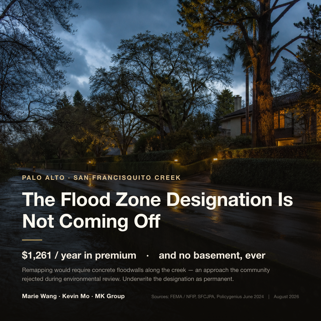
The most sought-after pockets in north Palo Alto — Crescent Park, Duveneck/St. Francis, Community Center, Triple El — sit a few streets from this creek. It flooded more than a thousand homes in February 1998, and it overtopped its banks into the streets again on December 31, 2022. For a buyer, "is it in a flood zone" is never an abstract risk label. It is a set of consequences you can price out in advance.
Who this is for
- Buyers looking in north Palo Alto. Across Crescent Park, Duveneck/St. Francis, Community Center and Triple El, flood zone status varies parcel by parcel — worth settling before you offer, not after.
- Anyone whose disclosure packet reads WITHIN a Special Flood Hazard Area. You want to know what that single line means for insurance, financing and remodeling.
- Families planning to buy an older house and rebuild, add on, or dig down. Here, whether a basement is possible is a property of the parcel, not a design choice — and at the luxury tier it is a seven-figure difference.
- Buyers comparing Palo Alto against Menlo Park. The two cities face flood risk from different directions, and their long-term outlooks run opposite ways.
Three things that decide the answer
One: read the zone letter — the mandatory-insurance line is drawn at A and V
FEMA designates areas with a 1% or greater annual chance of flooding — the so-called 100-year floodplain — as a Special Flood Hazard Area (SFHA). Those zones start with the letter A or V. The rule is hard: if a property sits in an SFHA and the loan comes from a federally regulated or federally insured lender, flood insurance is mandatory, and the lender is legally obligated to enforce it.
Palo Alto has an unusual profile. The entire city falls within some flood designation, but the large majority is the moderate-to-low risk X zone — roughly the band outside the 100-year line and inside the 500-year line — which does not trigger the mandate. Three designations do trigger it locally. AE zones have a published base flood elevation and account for tidal influence. AO zones are shallow sheet flow, generally 1 to 3 feet deep. AH zones are shallow ponding, up to 3 feet. The number after the zone code is the base flood elevation: AH52.6 means the 100-year water surface reaches 52.6 feet above sea level.
What matters most is that designations are drawn to the parcel. Two sides of the same street can differ. Verify address by address on the FEMA Flood Map Service Center; California's MyHazards portal is a reasonable secondary check. Never generalize from a neighborhood name.
Two: the remapping outlook — creek side and bay side run opposite ways
This is the most commonly misjudged variable, and the one that drives long-term carrying cost.
On the Palo Alto side, the designation is close to permanent. In 2023 the joint powers authority was direct about it: removing these homes from the flood zone would require demonstrating risk below the 100-year threshold, and in practice that means concrete floodwalls along the creek. That concept was firmly rejected by the community during CEQA review, and the agency's leadership has reiterated that complete 100-year protection is not feasible here.
Menlo Park's bay side runs the other direction. The city's own staff report on the SAFER Bay levee project contains the sentence that matters most to a buyer: once the full 7.5 miles are built, "a substantial portion of the City's Bayfront and Belle Haven areas will be eligible for removal from the FEMA 100-year coastal flood maps." Same county, a few miles apart — one designation cannot be lifted, the other has an engineering path to removal. Buying in the Willows and buying a new Bayfront home are two different long-term insurance calculations.
Three: what you are allowed to build — basements and the elevation trigger
Inside an SFHA, the lowest floor must sit above the base flood elevation. In practice that means no basement. The rule produces a sharp contrast within a single Palo Alto district: in Green Gables, the Eichler homes of Triple El are constrained by the flood-zone basement limits, while Leland Manor to the west is putting up new construction with full basements.
The second constraint is easier to miss. A large remodel can trip the "substantial improvement" standard, and once it does, you may be required to elevate the whole house and fill in existing below-grade space. If you are buying an older home to renovate heavily, settle this before you build a budget — not after the drawings are done.
Insurance and due-diligence costs: the numbers you can use now
Start with the headline figures. The average NFIP flood insurance premium in Palo Alto runs $1,261 a year, well above the California average of $901, placing it among the ten most expensive of the 50 California cities with the most NFIP policies. Menlo Park runs higher still at $1,412, sixth on that same list. But the real spread is driven by zone rather than city: high-risk A and V zones average $1,161 statewide, while moderate-to-low B, C and X zones average $622 — close to half.
| Item | Amount | Basis | Source and date |
|---|---|---|---|
| Palo Alto average NFIP premium | $1,261 / year | Among the ten priciest of California's 50 highest-uptake NFIP cities | Policygenius, June 2024 |
| Menlo Park average NFIP premium | $1,412 / year | Sixth on the same list | Policygenius, June 2024 |
| California average NFIP premium | $901 / year | Statewide baseline | Policygenius, June 2024 |
| High-risk A/V zone average | $1,161 / year | By zone, not by city | Policygenius, June 2024 |
| Moderate-to-low B/C/X zone average | $622 / year | Voluntary X-zone coverage has long been inexpensive | Policygenius, June 2024 |
| Elevation certificate | $830–$2,900 each | Depends on structural complexity; typical turnaround 5–10 business days | Local surveyor pricing, July 2026 |
| Survey fee for a LOMA filing | $650–$1,000 | Where measured elevation is favorable, a single parcel can be mapped out | Local community resource, July 2026 |
Every figure above is an average, and none of them is your quote. Since 2021–2022 the NFIP has priced under Risk Rating 2.0, which rates the individual building — two houses in the same zone can carry very different premiums depending on elevation, construction and replacement cost. Averages are useful for order of magnitude and nothing more. Have an insurance broker run a quote against the actual address. And ask the seller for two documents that quietly save money: an existing elevation certificate, and the in-force NFIP policy, which is assumable and transfers with the house.
Flood-control projects: what is finished and what is still on paper
The short version: of the three segments, only the farthest downstream is genuinely complete. The Bay-to-Highway-101 reach achieved flood protection in December 2018, covering roughly 3,000 Palo Alto homes and businesses at the 100-year level. The upstream segment that actually governs Crescent Park narrowed from 17 alternatives to 3 and is still in evaluation, with construction no earlier than 2027.
| Segment | Status | Timeline | What it means for a buyer |
|---|---|---|---|
| Reach 1: Bay to Highway 101 | Complete | Started June 2016; flood protection achieved December 2018 | Sheet-pile floodwalls built; about 3,000 properties protected at the 100-year level |
| Newell Road bridge replacement | Under construction | Old bridge demolition began May 2026; completion expected spring 2027 | The 114-year-old span was too narrow and backed water up; replacement relieves upstream pressure |
| Pope-Chaucer bridge and upstream (101 to Middlefield) | Alternatives under evaluation | Evaluation through end of 2026; construction no earlier than 2027 | Target capacity 7,200 cfs for this reach; this is the segment that governs Crescent Park |
| SAFER Bay levee (mainly Menlo Park and East Palo Alto) | Environmental review cleared | Final EIR certified May 28, 2026 | On completion, a substantial share of the bay side may be removed from FEMA coastal flood maps |
There is a structural finding here that matters more than the schedule. After the 2022 New Year's Eve flood, the joint agency re-examined the channel and found its actual conveyance capacity is roughly 25% lower than the earlier model assumed, with water overtopping at multiple points above and below the Pope-Chaucer bridge — overturning the prior assumption that the bridge was the single choke point. An independent consultant review in February 2024 confirmed the old model had overstated capacity. In other words, the problem the engineering has to solve is larger than anyone thought, which is why the upstream design went back to the drawing board and the schedule keeps moving. The defensible financial assumption is that the flood-zone designation outlives your holding period.
What we see in the field: what a basement is worth at the luxury tier
In July 2026, walking two listings in Palo Alto, Marie Wang and Kevin Mo put numbers to this. On the same lot, rebuilding roughly 5,000 square feet without a basement runs about $4M in construction cost. Add a basement, complete landscaping and the level of finish a home at this price point requires, and construction runs about $6M.
That $2M delta is the real price of the flood-zone restriction. Inside an SFHA it is not a question of whether to spend more — the option does not exist. The read MK Group gave on that same walkthrough: Crescent Park sits in a flood zone and cannot support a basement; parts of Barron Park can, though any individual parcel still has to be checked against the city's published flood map.
The implication splits by buyer. If what you want is finished living space, the rebuild path inside a flood zone costs more and yields less area than the same math anywhere else. If you never intended to dig, the restriction costs you almost nothing. The expensive mistake is budgeting as though a basement were optional and discovering during due diligence that the parcel already decided for you. The full version of these numbers is worked through in our breakdown of the price gap between a 100-year-old Palo Alto house and a new build.
Common Misconceptions
"Once the flood-control work is done, this area gets remapped out"
This is the most expensive misunderstanding in the neighborhood. In 2023 the joint powers authority stated that FEMA removal would require proving risk below the 100-year threshold, which in practice means concrete floodwalls along the creek — an approach the community firmly rejected during environmental review, and one the agency's leadership has said cannot deliver complete 100-year protection here. The projects will reduce the chance of flooding. They will not change the designation. Budget flood insurance as a permanent carrying cost rather than waiting on news that is unlikely to come.
"December 2022 broke the 1998 record, so conditions are getting worse"
Handle the flow numbers carefully. Peak flow on December 31, 2022 was initially reported at roughly 7,400 cfs and widely described as exceeding the 1998 record of 7,200 cfs. USGS later revised that measurement down to 6,340 cfs — on the corrected figure, the 2022 event did not break the 1998 record. The genuinely worrying finding is elsewhere: the channel's actual conveyance capacity is about 25% below the earlier model. Risk rose not because the water got bigger, but because the channel holds less than everyone believed.
"My homeowners policy should cover flooding"
Standard homeowners insurance excludes flood damage. This is a nationwide exclusion, not a local quirk. Flood coverage is purchased separately, through the federal NFIP or a private carrier. That New Year's Eve provided a real footnote to the misunderstanding: on the East Palo Alto side of the same storm, more than 20 vehicles were flooded with initial losses above $100,000, and most affected residents carried no flood insurance.
"This neighborhood is in a flood zone, so the whole area is the same"
Designations are drawn to the parcel, and two sides of one street can differ. Green Gables is the ready example: Triple El is constrained by flood-zone basement limits while Leland Manor, a street away, is digging full basements. The unit of verification is always the street address, never the neighborhood name. Searching the specific address on the FEMA Flood Map Service Center and saving the screenshot is standard practice for buying here.
"Palo Alto and Menlo Park have the same flood problem"
They are two independent systems, and their futures point in opposite directions. The Palo Alto side, along with Menlo Park's Willows, faces creek overtopping from San Francisquito Creek, where the designation is close to permanent. Menlo Park's Bayfront and Belle Haven face coastal flooding driven by tides and sea level rise, where SAFER Bay offers a path off the FEMA coastal maps. One more variable exists only on the Menlo Park side: the city participates in the NFIP Community Rating System and has held a Class 8 rating since October 2020, which discounts A and AE zone policies 10% and X zone policies 5%. CRS discounts are earned city by city and reviewed periodically, so when you compare premiums across cities, confirm you are comparing the same discount basis.
What to do next
- Pull the FEMA map for the exact address and save it. Search the full street address on the FEMA Flood Map Service Center, confirm the zone letter and base flood elevation, and keep the screenshot in your due-diligence file. Neighborhood names and third-party maps do not substitute for this.
- Read the SFHA line on the disclosure before you offer. California's Natural Hazard Disclosure leads with whether the property sits in a FEMA-designated SFHA, an obligation codified at Civil Code section 1103.2. That line is worth reading before you price your offer, not after you enter the disclosure review period.
- Have a broker quote the actual address. Average premiums tell you the order of magnitude; under Risk Rating 2.0 the spread within a single zone is wide. Ask about the property's claims history at the same time.
- Ask the seller for the elevation certificate and the in-force NFIP policy. NFIP policies are assumable and transfer with the house. Requesting both saves an $830 to $2,900 survey and locks in the basis for your quote.
- If you plan to renovate, ask about the substantial-improvement threshold first. Before you build a construction budget, confirm with the city's floodplain management staff whether your planned scope would trigger a requirement to elevate the structure. Discovered late, this changes the whole design rather than one line item.
This article organizes public information for decision-making purposes and is not insurance, legal or tax advice. How flood zone designations, premium quotes, disclosure obligations and building codes apply to a specific property should be confirmed with a licensed insurance broker, a real estate attorney, and the city's floodplain management department.